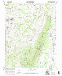
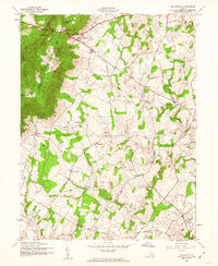
1968 Map of Middleburg
USGS Topo · Published 1985About this map
Middleburg occupies a central role on this survey of Virginia's hunt country, surrounded by historic estates and the sprawling Bull Run Mountains. The landscape is a mix of equestrian landmarks and rural crossroads, featuring the Glenwood Racetrack near Polecat Hill and the Hickory Tree Farm Landing Strip. This era shows a transition toward more modern infrastructure, with large pipelines cutting across the northern sections and a growing footprint at Bull Run Mountain Estates.
Find a feature on this map
51 named features on this map. Tap any name to fly to it.
Don’t see what you’re looking for? This feature index may not catch every label — zoom into the map to look around manually.
Map Details
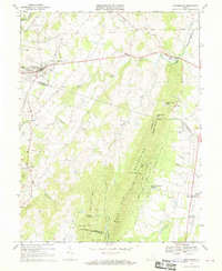
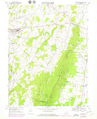
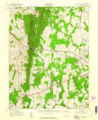
Editions of this 1968 Middleburg Map
3 editions found
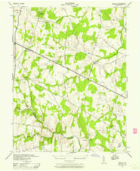
Other maps of this area

1884 · Harpers Ferry
USGS Topo · 1:125,000

1891 · Harpers Ferry
USGS Topo · 1:125,000

1893 · Harpers Ferry
USGS Topo · 1:125,000

1894 · Warrenton
USGS Topo · 1:125,000

1916 · Berryville
USGS Topo · 1:62,500

1933 · Middleburg
USGS Topo · 1:62,500

1939 · Berryville
USGS Topo · 1:48,000
1943 · Arcola
USGS Topo · 1:24,000
1943 · Bluemont
USGS Topo · 1:24,000
1943 · Thorofare Gap
USGS Topo · 1:24,000