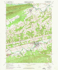
1965 Map of Middleburg
USGS Topo · Published 1973About this map
The borough of Middleburg serves as a central hub in this mid-1960s topographic survey of Snyder County, which also includes 1973 photorevisions to track local development. The landscape is defined by the significant topographic relief of Jacks Mountain and Shade Mountain, with the Penn Central railroad corridor and Middle Creek following the valley floors. This area preserves a dense concentration of ecclesiastical and family history, evidenced by numerous rural landmarks such as St Lukes Ch, Hassingers Ch, and Boyer Ch Cem.
Find a feature on this map
53 named features on this map. Tap any name to fly to it.
Don’t see what you’re looking for? This feature index may not catch every label — zoom into the map to look around manually.
Map Details
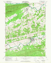
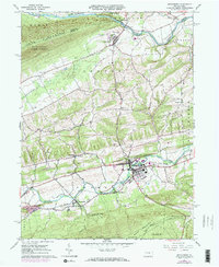
Editions of this 1965 Middleburg Map
3 editions found
Other maps of this area

1893 · Sunbury
USGS Topo · 1:62,500

1893 · Millersburg
USGS Topo · 1:62,500

1907 · Millerstown
USGS Topo · 1:62,500

1938 · Mifflinburg
USGS Topo · 1:48,000

1943 · Millerstown
USGS Topo · 1:62,500

1943 · Millersburg
USGS Topo · 1:62,500

1943 · Sunbury
USGS Topo · 1:62,500

1943 · Mifflinburg
USGS Topo · 1:62,500
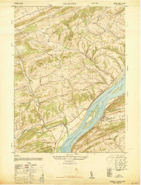
1947 · Dalmatia
USGS Topo · 1:24,000

1950 · Harrisburg
USGS Topo · 1:250,000