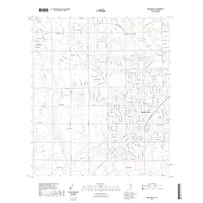
2021 Map of Middleburg SW
USGS Topo · Published 2021About this map
Middleburg serves as the focal point of this Clay County landscape, where the residential street grid meets the dense drainage network of the North Fork Black Creek. The area is defined by its transition from suburban development to the protected timberlands of the Jennings State Forest Trl, which dominates the northern and eastern reaches. Smaller aviation and athletic hubs like Spencer's Airpark and Williams Field are integrated into the neighborhood fabric, reflecting the region's mid-century and modern growth patterns.
Find a feature on this map
240 named features on this map. Tap any name to fly to it.
Don’t see what you’re looking for? This feature index may not catch every label — zoom into the map to look around manually.
Map Details
Editions of this 2021 Middleburg SW Map
This is the sole edition of this map. No revisions or reprints were ever made.
Other maps of this area

1918 · Middleburg
USGS Topo · 1:62,500

1918 · Lawtey
USGS Topo · 1:62,500

1941 · Starke
USGS Topo · 1:62,500

1941 · Middleburg
USGS Topo · 1:62,500

1942 · Ates Creek
USGS Topo · 1:62,500

1948 · Starke
USGS Topo · 1:50,000

1948 · Jacksonville
USGS Topo · 1:250,000

1949 · Middleburg SW
USGS Topo · 1:24,000

1949 · Fiftone
USGS Topo · 1:24,000

1949 · Starke
USGS Topo · 1:24,000