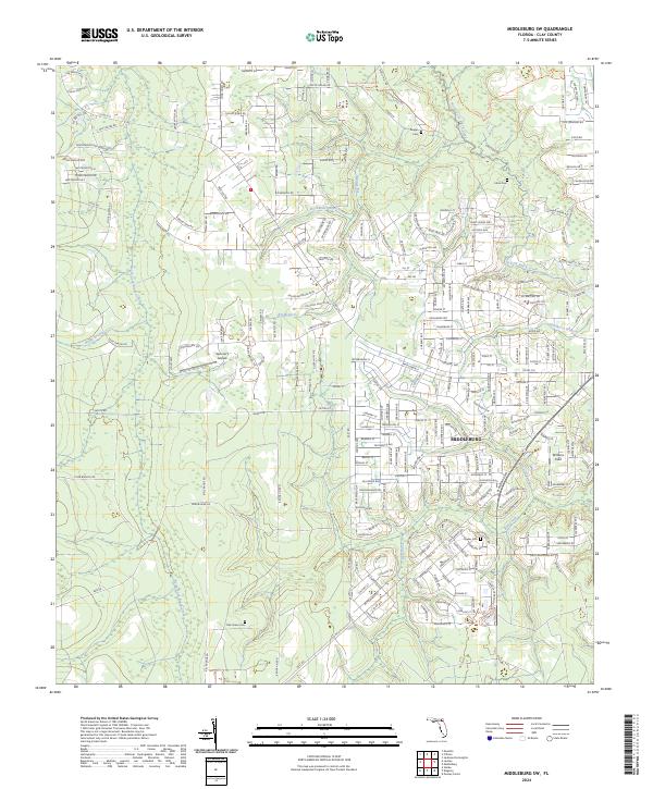
2024 Map of Middleburg SW
USGS Topo · Published 2024About this map
Middleburg serves as the central hub of this region, where the residential street grid meets the winding course of the North Fork Black Creek. The landscape is defined by its numerous watercourses, including Bull Creek, Mill Creek, and Boggy Branch, which drain the low-lying terrain. Genealogy researchers will find several well-documented burial sites scattered throughout the area, such as Johns Cem, Padget Cem, and the more southern Oak Grove Cem.
Find a feature on this map
237 named features on this map. Tap any name to fly to it.
Don’t see what you’re looking for? This feature index may not catch every label — zoom into the map to look around manually.
Map Details
Editions of this 2024 Middleburg SW Map
This is the sole edition of this map. No revisions or reprints were ever made.
Other maps of this area

1918 · Middleburg
USGS Topo · 1:62,500

1918 · Lawtey
USGS Topo · 1:62,500

1941 · Starke
USGS Topo · 1:62,500

1941 · Middleburg
USGS Topo · 1:62,500

1942 · Ates Creek
USGS Topo · 1:62,500

1948 · Starke
USGS Topo · 1:50,000

1948 · Jacksonville
USGS Topo · 1:250,000

1949 · Middleburg SW
USGS Topo · 1:24,000

1949 · Fiftone
USGS Topo · 1:24,000

1949 · Starke
USGS Topo · 1:24,000