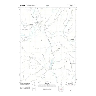
2010 Map of Middleburgh
USGS Topo · Published 2010About this map
Middleburgh and West Middleburgh sit at a bend in the Schoharie Creek, surrounded by dramatic relief such as The Cliff and The Gorge. This landscape is defined by its numerous small burial grounds and deep hollows, suggesting a long history of family farming and local settlement along the valley floors. Notable terrain features like Vromans Nose and Hony Hill overlook the winding courses of the Little Schoharie Creek and Stony Creek. To the south, the village of Franklinton is situated near The Vlaie, where the drainage shifts toward Catskill Creek. Genealogists will find a wealth of specific local landmarks including the Mattice Cemetery, Armlin Cemetery, and Taylor Cemetery, which are scattered throughout the hills and valleys of this Schoharie County region.
Find a feature on this map
80 named features on this map. Tap any name to fly to it.
Don’t see what you’re looking for? This feature index may not catch every label — zoom into the map to look around manually.
Map Details
Editions of this 2010 Middleburgh Map
This is the sole edition of this map. No revisions or reprints were ever made.
Other maps of this area

1893 · Durham
USGS Topo · 1:62,500

1894 · Durham
USGS Topo · 1:62,500

1898 · Schoharie
USGS Topo · 1:62,500

1900 · Schoharie
USGS Topo · 1:62,500

1900 · Schoharie
USGS Topo · 1:31,680

1900 · Berne
USGS Topo · 1:62,500

1901 · Gilboa
USGS Topo · 1:62,500

1903 · Gilboa
USGS Topo · 1:62,500

1903 · Berne
USGS Topo · 1:62,500

1943 · Cobleskill
USGS Topo · 1:24,000