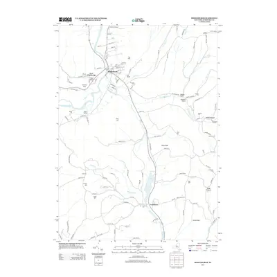
2013 Map of Middleburgh
USGS Topo · Published 2013About this map
Schoharie Cr and its tributaries define the agricultural and residential layout of this New York valley, where the village of Middleburgh sits at the base of prominent landmarks like The Cliff and The Gorge. The landscape transitions from fertile valley floors to significant high points such as Vromans Nose and Dutton Ridge. Cultural history is well-preserved through several family and community burial grounds, including Barkman Cem, Franklinton Cem, and the Huntersland Sch Cem. Local industry remains visible through labeled agricultural sites like Bohringers Fruit Farm and Red Maple Farm. In the southern portion of the quadrangle, the hydrology becomes more complex near The Vlaie, where numerous small runs like Catskill Cr and Lake Cr begin their descent from the surrounding hills.
Find a feature on this map
114 named features on this map. Tap any name to fly to it.
Don’t see what you’re looking for? This feature index may not catch every label — zoom into the map to look around manually.
Map Details
Editions of this 2013 Middleburgh Map
This is the sole edition of this map. No revisions or reprints were ever made.
Other maps of this area

1893 · Durham
USGS Topo · 1:62,500

1894 · Durham
USGS Topo · 1:62,500

1898 · Schoharie
USGS Topo · 1:62,500

1900 · Schoharie
USGS Topo · 1:62,500

1900 · Schoharie
USGS Topo · 1:31,680

1900 · Berne
USGS Topo · 1:62,500

1901 · Gilboa
USGS Topo · 1:62,500

1903 · Gilboa
USGS Topo · 1:62,500

1903 · Berne
USGS Topo · 1:62,500

1943 · Cobleskill
USGS Topo · 1:24,000