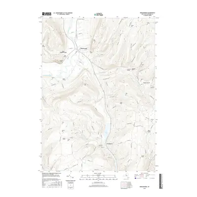
2016 Map of Middleburgh
USGS Topo · Published 2016About this map
Schoharie Creek carves a path through this Schoharie County landscape, defining the topography around the village of Middleburgh. The dramatic prominence of Vromans Nose stands over the valley floor, while further south, the waters of The Vlaie collect near Franklinton. The terrain is characterized by a series of high ridges and deep hollows, including Windy Ridge, Dutton Ridge, and Warner Hollow, which have shaped the local road network and settlement patterns for generations.
Find a feature on this map
97 named features on this map. Tap any name to fly to it.
Don’t see what you’re looking for? This feature index may not catch every label — zoom into the map to look around manually.
Map Details
Editions of this 2016 Middleburgh Map
This is the sole edition of this map. No revisions or reprints were ever made.
Other maps of this area

1893 · Durham
USGS Topo · 1:62,500

1894 · Durham
USGS Topo · 1:62,500

1898 · Schoharie
USGS Topo · 1:62,500

1900 · Schoharie
USGS Topo · 1:62,500

1900 · Schoharie
USGS Topo · 1:31,680

1900 · Berne
USGS Topo · 1:62,500

1901 · Gilboa
USGS Topo · 1:62,500

1903 · Gilboa
USGS Topo · 1:62,500

1903 · Berne
USGS Topo · 1:62,500

1943 · Cobleskill
USGS Topo · 1:24,000