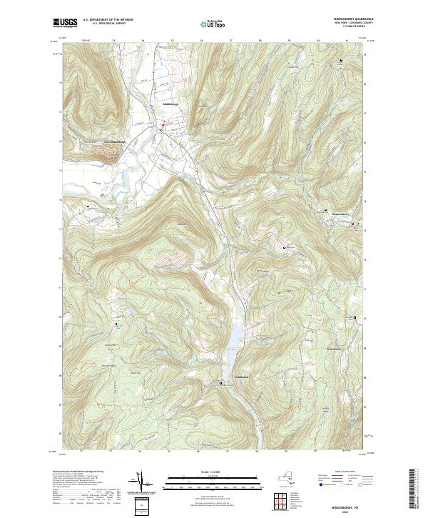
2023 Map of Middleburgh
USGS Topo · Published 2023About this map
Schoharie Creek winds through a landscape of sharp elevation changes and deep valleys, framing the village of Middleburgh and its neighboring settlements. To the west, the prominent bluff of Vromans Nose overlooks the creek valley, while the terrain to the east rises sharply toward Cotton Hill and Hony Hill. The settlement pattern follows the drainages and ridges, with Huntersland and Franklinton serving as established hubs for the surrounding rural roads.
Find a feature on this map
93 named features on this map. Tap any name to fly to it.
Don’t see what you’re looking for? This feature index may not catch every label — zoom into the map to look around manually.
Map Details
Editions of this 2023 Middleburgh Map
This is the sole edition of this map. No revisions or reprints were ever made.
Other maps of this area

1893 · Durham
USGS Topo · 1:62,500

1894 · Durham
USGS Topo · 1:62,500

1898 · Schoharie
USGS Topo · 1:62,500

1900 · Schoharie
USGS Topo · 1:62,500

1900 · Schoharie
USGS Topo · 1:31,680

1900 · Berne
USGS Topo · 1:62,500

1901 · Gilboa
USGS Topo · 1:62,500

1903 · Gilboa
USGS Topo · 1:62,500

1903 · Berne
USGS Topo · 1:62,500

1943 · Cobleskill
USGS Topo · 1:24,000