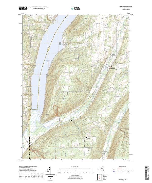
2023 Map of Middlesex
USGS Topo · Published 2023About this map
Canandaigua Lake and its eastern shores dominate this landscape, where the steep topography of Bare Hill and South Hill drops sharply toward the water. The settlement of Vine Valley occupies a strategic shelf above the lake, while the village of Middlesex sits further east in the valley of the West River. This river system creates a broad wetland area near Woodville before emptying into the lake, a natural transition zone protected in part by the Hi-Tor Preserve.
Find a feature on this map
95 named features on this map. Tap any name to fly to it.
Don’t see what you’re looking for? This feature index may not catch every label — zoom into the map to look around manually.
Map Details
Editions of this 2023 Middlesex Map
This is the sole edition of this map. No revisions or reprints were ever made.
Other maps of this area
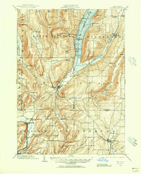
1900 · Naples
USGS Topo · 1:62,500
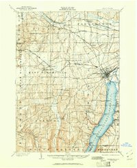
1900 · Canandaigua
USGS Topo · 1:62,500
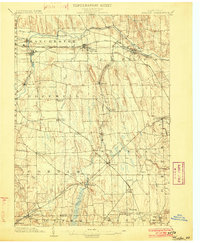
1902 · Phelps
USGS Topo · 1:62,500
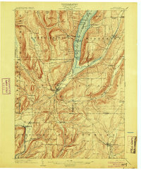
1903 · Naples
USGS Topo · 1:62,500
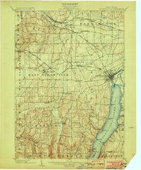
1903 · Canandaigua
USGS Topo · 1:62,500
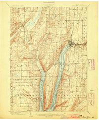
1903 · Penn Yan
USGS Topo · 1:62,500
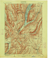
1913 · Naples
USGS Topo · 1:62,500
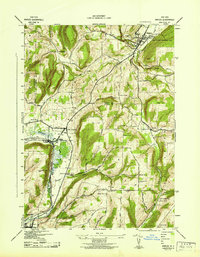
1942 · Naples
USGS Topo · 1:31,680
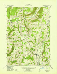
1942 · Prattsburg
USGS Topo · 1:31,680
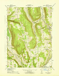
1942 · Bristol Springs
USGS Topo · 1:31,680