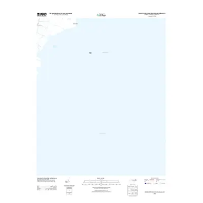
2013 Map of Middletown Anchorage
USGS Topo · Published 2013About this map
Pamlico Sound dominates this Hyde County shoreline, where the low-lying coastal fringe of North Carolina meets the water at Gibbs Point. This coastal landscape is defined by its vast maritime reaches rather than inland development, showing the transitional space of Middletown Anchorage and the submerged hazards of Gibbs Shoal. On the small portion of land visible, a simple network of local routes including Goshen Rd and Collins Ln provides access to the marshes and wetlands. This 2013 survey is particularly useful for understanding the exact shoreline configuration and shallow-water topography before further coastal shifts, documenting the small-scale infrastructure that supports local fishing or maritime access in this quiet corner of the state.
Find a feature on this map
7 named features on this map. Tap any name to fly to it.
Don’t see what you’re looking for? This feature index may not catch every label — zoom into the map to look around manually.
Map Details
Editions of this 2013 Middletown Anchorage Map
This is the sole edition of this map. No revisions or reprints were ever made.
Other maps of this area

1943 · Columbia
USGS Topo · 1:125,000

1943 · Roanoke Island
USGS Topo · 1:125,000

1951 · Middletown Anchorage
USGS Topo · 1:24,000

1951 · Middletown
USGS Topo · 1:24,000

1951 · Engelhard West
USGS Topo · 1:24,000

1951 · Long Shoal Point
USGS Topo · 1:24,000

1951 · Engelhard East
USGS Topo · 1:24,000

1953 · Rocky Mount
USGS Topo · 1:250,000

1954 · Rocky Mount
USGS Topo · 1:250,000

1955 · Wanchese
USGS Topo · 1:250,000