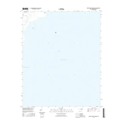
2016 Map of Middletown Anchorage
USGS Topo · Published 2016About this map
Engelhard serves as the primary coastal settlement on this portion of the Hyde County shoreline, where the land transitions into the expansive waters of the Atlantic Ocean. The topography is dominated by the maritime environment of the Pamlico Sound, featuring nautical landmarks such as Middletown Anchorage and Gibbs Shoal. On the mainland, local infrastructure is concentrated around Goshen Rd and Collins Ln, providing access to the marshy periphery near Gibbs Point. This survey reflects the modern maritime character of the region, illustrating how residential clusters and small rural roads are situated against the massive aquatic backdrop of the sound and the open ocean.
Find a feature on this map
8 named features on this map. Tap any name to fly to it.
Don’t see what you’re looking for? This feature index may not catch every label — zoom into the map to look around manually.
Map Details
Editions of this 2016 Middletown Anchorage Map
This is the sole edition of this map. No revisions or reprints were ever made.
Other maps of this area

1943 · Columbia
USGS Topo · 1:125,000

1943 · Roanoke Island
USGS Topo · 1:125,000

1951 · Middletown Anchorage
USGS Topo · 1:24,000

1951 · Middletown
USGS Topo · 1:24,000

1951 · Engelhard West
USGS Topo · 1:24,000

1951 · Long Shoal Point
USGS Topo · 1:24,000

1951 · Engelhard East
USGS Topo · 1:24,000

1953 · Rocky Mount
USGS Topo · 1:250,000

1954 · Rocky Mount
USGS Topo · 1:250,000

1955 · Wanchese
USGS Topo · 1:250,000