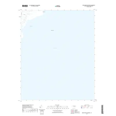
2019 Map of Middletown Anchorage
USGS Topo · Published 2019About this map
Pamlico Sound dominates this coastal view of Hyde County, where the transition from marshy wetlands to open water defines the landscape. The geography is characterized by sub-surface features and shoreline markers like Gibbs Shoal and Gibbs Point, which remain critical for navigating the shallow approaches to the mainland. Along the northwestern edge of the sheet, the presence of Goshen Rd and Collins Ln indicates a small pocket of accessibility on the fringe of the vast Middletown Anchorage. This map documents a quiet, water-bound stretch of the North Carolina coast where the boundary between land and sea is constantly shifting.
Find a feature on this map
6 named features on this map. Tap any name to fly to it.
Don’t see what you’re looking for? This feature index may not catch every label — zoom into the map to look around manually.
Map Details
Editions of this 2019 Middletown Anchorage Map
This is the sole edition of this map. No revisions or reprints were ever made.
Other maps of this area

1943 · Columbia
USGS Topo · 1:125,000

1943 · Roanoke Island
USGS Topo · 1:125,000

1951 · Middletown Anchorage
USGS Topo · 1:24,000

1951 · Middletown
USGS Topo · 1:24,000

1951 · Engelhard West
USGS Topo · 1:24,000

1951 · Long Shoal Point
USGS Topo · 1:24,000

1951 · Engelhard East
USGS Topo · 1:24,000

1953 · Rocky Mount
USGS Topo · 1:250,000

1954 · Rocky Mount
USGS Topo · 1:250,000

1955 · Wanchese
USGS Topo · 1:250,000