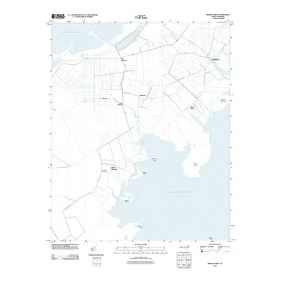
2010 Map of Middletown
USGS Topo · Published 2010About this map
Lake Mattamuskeet and the expansive waters of the Atlantic Ocean define this coastal portion of Hyde County. The landscape is characterized by an intricate drainage system including Gray Ditch, Rose Canal, and Brooks Creek, which supported the agricultural development of scattered settlements like Lake Landing and Nebraska. These small communities, connected by a network of secondary roads such as NC-1116 and Nebraska Rd, reflect a rural pattern established long before this modern survey.
Find a feature on this map
41 named features on this map. Tap any name to fly to it.
Don’t see what you’re looking for? This feature index may not catch every label — zoom into the map to look around manually.
Map Details
Editions of this 2010 Middletown Map
This is the sole edition of this map. No revisions or reprints were ever made.
Other maps of this area
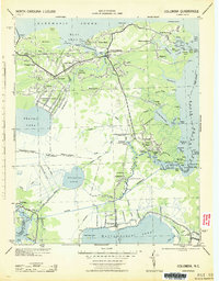
1943 · Columbia
USGS Topo · 1:125,000
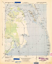
1943 · Roanoke Island
USGS Topo · 1:125,000
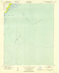
1951 · Middletown Anchorage
USGS Topo · 1:24,000
1951 · Bluff Point
USGS Topo · 1:24,000
1951 · Middletown
USGS Topo · 1:24,000
1951 · Engelhard West
USGS Topo · 1:24,000
1951 · New Holland
USGS Topo · 1:24,000
1951 · Engelhard East
USGS Topo · 1:24,000
1951 · Fairfield
USGS Topo · 1:24,000

1953 · Rocky Mount
USGS Topo · 1:250,000