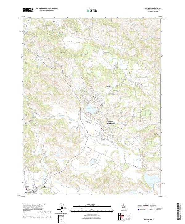
2022 Map of Middletown
USGS Topo · Published 2022About this map
Middletown serves as the gateway to this portion of Lake County, where the southern reaches of the Collayomi Valley meet the headwaters of Saint Helena Cr and Dry Cr. The landscape is defined by a series of distinct upland basins including Excelsior Valley, Little High Valley, and Coyote Valley, each separated by significant topographic ridges. In the center of the sheet, the planned community of Hidden Valley Lake surrounds its namesake reservoir, with a dense network of roads like Lakeridge Cir and Moon Ridge RD contrasting with the sprawling ranch lands to the north.
Find a feature on this map
119 named features on this map. Tap any name to fly to it.
Don’t see what you’re looking for? This feature index may not catch every label — zoom into the map to look around manually.
Map Details
Editions of this 2022 Middletown Map
This is the sole edition of this map. No revisions or reprints were ever made.
Other maps of this area

1927 · Calistoga
USGS Topo · 1:62,500

1942 · St. Helena
USGS Topo · 1:62,500

1943 · Morgan Valley
USGS Topo · 1:62,500

1943 · Calistoga
USGS Topo · 1:62,500

1944 · Morgan Valley
USGS Topo · 1:62,500

1945 · Calistoga
USGS Topo · 1:62,500

1945 · St. Helena
USGS Topo · 1:62,500

1945 · Lower Lake
USGS Topo · 1:62,500

1947 · Santa Rosa
USGS Topo · 1:250,000

1949 · Santa Rosa
USGS Topo · 1:250,000