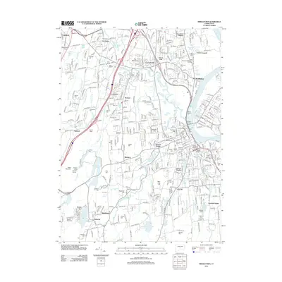
2012 Map of Middletown
USGS Topo · Published 2012About this map
The Connecticut River shapes the eastern boundary of this mid-20th-century landscape, where industrial heritage meets institutional growth. The urban core of Cromwell and the academic grounds of Wesleyan University overlook the river valley, connected by the prominent Arrigoni Bridge. This era shows a dense network of educational and social centers, including the Apostles College and Seminary and the Wilcox College of Nursing.
Find a feature on this map
89 named features on this map. Tap any name to fly to it.
Don’t see what you’re looking for? This feature index may not catch every label — zoom into the map to look around manually.
Map Details
Editions of this 2012 Middletown Map
This is the sole edition of this map. No revisions or reprints were ever made.
Other maps of this area

1892 · New Haven
USGS Topo · 1:62,500

1892 · Meriden
USGS Topo · 1:62,500
1893 · Guilford
USGS Topo · 1:62,500

1893 · Middletown
USGS Topo · 1:62,500

1893 · Meriden
USGS Topo · 1:62,500

1906 · Farmington
USGS Topo · 1:125,000
1921 · New Haven
USGS Topo · 1:62,500
1928 · Cromwell
USGS Topo · 1:24,000
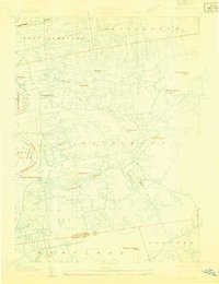
1928 · Glastonbury
USGS Topo · 1:24,000
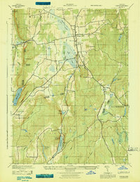
1943 · Durham
USGS Topo · 1:25,000