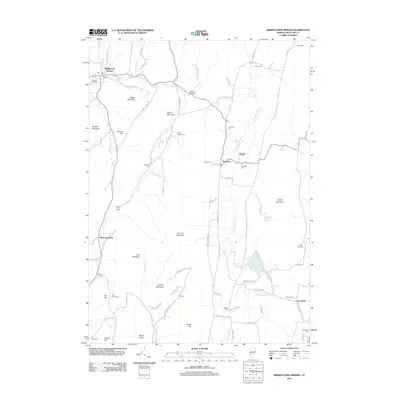
2012 Map of Middletown Springs
USGS Topo · Published 2012About this map
Middletown Springs serves as the primary hub in this corner of Rutland County, where the Poultney River and North Brook converge. The landscape is defined by its numerous family and community burial grounds, including the Old Cem and Pleasant View Cem near the village center, and more remote sites like Darling Rising Cem and the John Brown Cem to the south. These markers provide essential waypoints for genealogical research in a region where the topography transitions from the high peaks of Barber Mountain and Tinmouth Mountain into the wetland environment of the Tinmouth Channel.
Find a feature on this map
94 named features on this map. Tap any name to fly to it.
Don’t see what you’re looking for? This feature index may not catch every label — zoom into the map to look around manually.
Map Details
Editions of this 2012 Middletown Springs Map
This is the sole edition of this map. No revisions or reprints were ever made.
Other maps of this area

1891 · Rutland
USGS Topo · 1:62,500

1893 · Wallingford
USGS Topo · 1:62,500

1893 · Rutland
USGS Topo · 1:62,500

1894 · Pawlet
USGS Topo · 1:62,500

1895 · Castleton
USGS Topo · 1:62,500

1897 · Pawlet
USGS Topo · 1:62,500

1897 · Castleton
USGS Topo · 1:62,500

1903 · Mettawee
USGS Topo · 1:125,000

1950 · Glens Falls
USGS Topo · 1:250,000

1955 · Wallingford
USGS Topo · 1:62,500