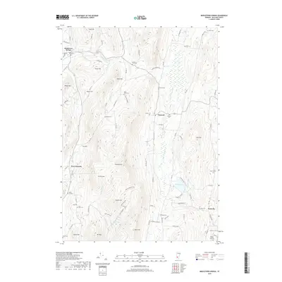
2018 Map of Middletown Springs
USGS Topo · Published 2018About this map
Middletown Springs and the village of Tinmouth anchor this rural Vermont landscape, which is defined by the valley of the Clarendon River and the high ridges of the Taconic Mountains. The area is dense with family-named burial grounds and small cemeteries, reflecting generations of local settlement. From the Noble Cem in the north to the Quaker-Nichols Farm Cem and Scottsville Cem in the south, these sites provide a clear record of the region's genealogical history.
Find a feature on this map
94 named features on this map. Tap any name to fly to it.
Don’t see what you’re looking for? This feature index may not catch every label — zoom into the map to look around manually.
Map Details
Editions of this 2018 Middletown Springs Map
This is the sole edition of this map. No revisions or reprints were ever made.
Other maps of this area

1891 · Rutland
USGS Topo · 1:62,500

1893 · Wallingford
USGS Topo · 1:62,500

1893 · Rutland
USGS Topo · 1:62,500

1894 · Pawlet
USGS Topo · 1:62,500

1895 · Castleton
USGS Topo · 1:62,500

1897 · Pawlet
USGS Topo · 1:62,500

1897 · Castleton
USGS Topo · 1:62,500

1903 · Mettawee
USGS Topo · 1:125,000

1950 · Glens Falls
USGS Topo · 1:250,000

1955 · Wallingford
USGS Topo · 1:62,500