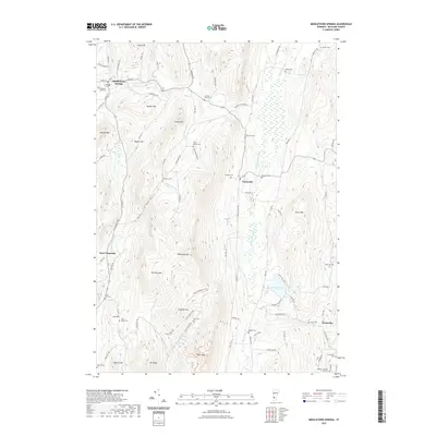
2021 Map of Middletown Springs
USGS Topo · Published 2021About this map
Middletown Springs sits at the western edge of this landscape, where the Poultney River and S Brook converge near Pleasant View Cem. The terrain is defined by a series of prominent peaks and ridgelines, including Tinmouth Mtn and Barber Mtn, which frame the agricultural and residential pockets of Tinmouth and Scottsville. A notable concentration of cemeteries, such as the Quaker-Nichols Farm Cem and Wood-Norton Cem, speaks to the deep-rooted family settlements in this part of Rutland County. To the east, the low-lying Tinmouth Channel and Chipman Lake create a distinct wetland corridor that contrasts with the steep slopes of Clark Mtn and Fayette Mtn. This configuration of valley roads like East Rd and South St hugging the base of high ridges illustrates the enduring influence of topography on Vermont's rural development.
Find a feature on this map
100 named features on this map. Tap any name to fly to it.
Don’t see what you’re looking for? This feature index may not catch every label — zoom into the map to look around manually.
Map Details
Editions of this 2021 Middletown Springs Map
This is the sole edition of this map. No revisions or reprints were ever made.
Other maps of this area

1891 · Rutland
USGS Topo · 1:62,500

1893 · Wallingford
USGS Topo · 1:62,500

1893 · Rutland
USGS Topo · 1:62,500

1894 · Pawlet
USGS Topo · 1:62,500

1895 · Castleton
USGS Topo · 1:62,500

1897 · Pawlet
USGS Topo · 1:62,500

1897 · Castleton
USGS Topo · 1:62,500

1903 · Mettawee
USGS Topo · 1:125,000

1950 · Glens Falls
USGS Topo · 1:250,000

1955 · Wallingford
USGS Topo · 1:62,500