2024 Map of Middletown Springs
USGS Topo · Published 2024About this map
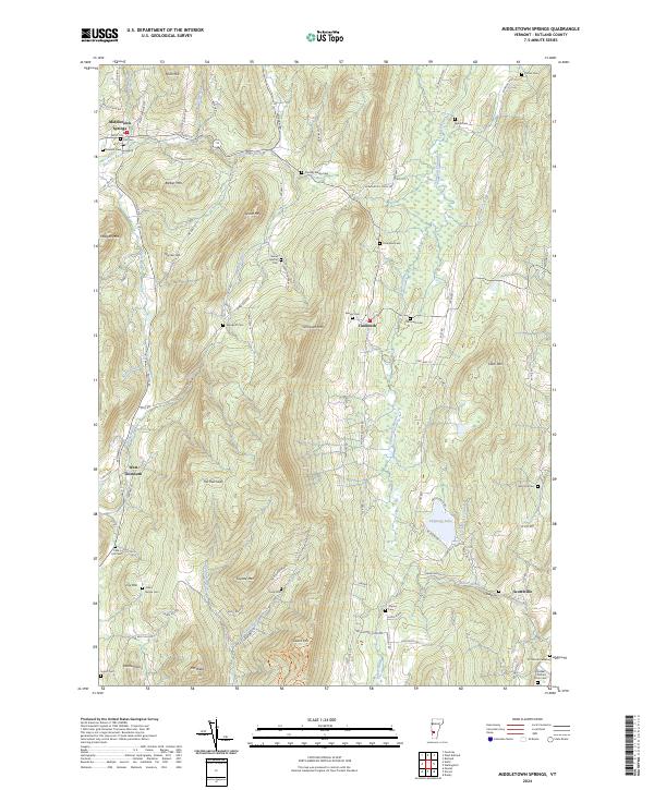
Middletown Springs serves as the primary hub in this corner of Rutland County, where the Poultney River winds through a landscape defined by significant elevations like Barber Mtn and Spoon Mtn. The settlement pattern reflects a deeply rooted community, with numerous family-named burial grounds including the Darling-Rising Cem, Wood Norton Cem, and the Quaker Nichols Farm Cem scattered among the uplands. These small cemeteries, often associated with early homesteads, provide a tangible link to the area's ancestral residents.
Find a feature on this map
64 named features on this map. Tap any name to fly to it.
Don’t see what you’re looking for? This feature index may not catch every label — zoom into the map to look around manually.
Map Details
Editions of this 2024 Middletown Springs Map
This is the sole edition of this map. No revisions or reprints were ever made.