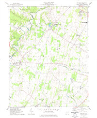
1978 Map of Middleway
USGS Topo · Published 1979About this map
Opequon Creek meanders along the boundary of Berkeley and Jefferson Counties, anchoring a landscape defined by 18th-century land grants and small agricultural settlements in the late 1970s. The village of Middleway serves as a central hub, surrounded by family-named landmarks like Harewood and smaller hamlets such as Leetown and Summit Point. This era shows the continued importance of the Baltimore and Ohio and Norfolk and Western railroads, which cross the terrain alongside historic waterways like Turkey Run and Evitts Run.
Find a feature on this map
41 named features on this map. Tap any name to fly to it.
Don’t see what you’re looking for? This feature index may not catch every label — zoom into the map to look around manually.
Map Details
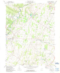
Editions of this 1978 Middleway Map
2 editions found
Other maps of this area

1884 · Harpers Ferry
USGS Topo · 1:125,000

1891 · Harpers Ferry
USGS Topo · 1:125,000

1893 · Harpers Ferry
USGS Topo · 1:125,000

1894 · Winchester
USGS Topo · 1:125,000

1914 · Martinsburg
USGS Topo · 1:48,000

1914 · Gerrardstown
USGS Topo · 1:48,000

1916 · Gerrardstown
USGS Topo · 1:62,500

1916 · Martinsburg
USGS Topo · 1:62,500

1916 · Berryville
USGS Topo · 1:62,500

1937 · Gerrardstown
USGS Topo · 1:48,000