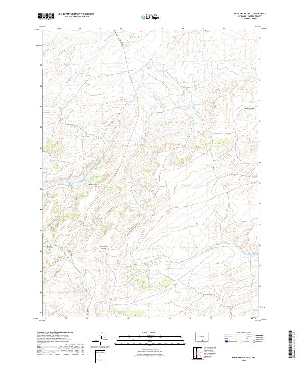
2021 Map of Middlewood Hill
USGS Topo · Published 2021About this map
The Continental Divide traverses this high-elevation landscape in southern Wyoming, where the drainage networks of the western and eastern slopes begin their long descent. This area of Carbon County is defined by its working ranch lands and isolated water sources, centered around features like Middlewood Hill and the broad Round Meadow. The presence of the McCarty Ranch and Pine Grove Ranch indicates the enduring legacy of high-plains livestock operations in a region where water management is critical, evidenced by the Adams Reservoir and Low Reservoir. A curious geological feature, the Midget Geyser, sits near the headwaters of Middlewood Creek, adding a rare thermal element to the drainages of Trapper Creek and Sage Creek. The terrain is accessed primarily via Sage Creek Rd and McCarty Canyon Rd, which follow the natural contours of the canyons and ridgelines.
Find a feature on this map
27 named features on this map. Tap any name to fly to it.
Don’t see what you’re looking for? This feature index may not catch every label — zoom into the map to look around manually.
Map Details
Editions of this 2021 Middlewood Hill Map
This is the sole edition of this map. No revisions or reprints were ever made.
Other maps of this area

1932 · Savery
USGS Topo · 1:96,000

1940 · Savery
USGS Topo · 1:125,000

1954 · Rawlins
USGS Topo · 1:250,000

1956 · Bridger Pass
USGS Topo · 1:62,500

1956 · Bolten Ranch
USGS Topo · 1:62,500

1958 · Rawlins
USGS Topo · 1:250,000

1961 · Divide Peak
USGS Topo · 1:24,000

1961 · Middlewood Hill
USGS Topo · 1:24,000

1961 · Pine Grove Ranch
USGS Topo · 1:24,000

1961 · Jack Creek Reservoir
USGS Topo · 1:24,000