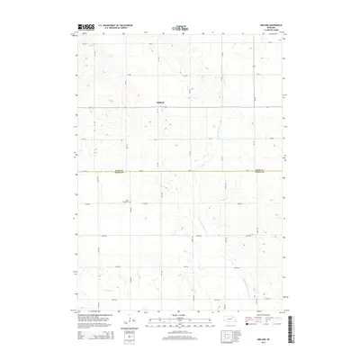
2014 Map of Midland
USGS Topo · Published 2014About this map
The small community of Midland serves as a central point in this rural landscape on the northern Nebraska plains. This area is characterized by a high-density grid of local roads and sections, reflecting the enduring legacy of the township and range survey system in agricultural development. The terrain is defined by the winding course of the W Br N Fork Elkhorn River and the smaller Breslau Cr, which provide the primary drainage for the surrounding fields. Genealogists and local historians will find the Eden Valley Cem positioned south of the town center, a key landmark for tracing early families in this border region between Knox Co and Pierce Co. The map records a moment where traditional agricultural patterns persist alongside modern county infrastructure.
Find a feature on this map
26 named features on this map. Tap any name to fly to it.
Don’t see what you’re looking for? This feature index may not catch every label — zoom into the map to look around manually.
Map Details
Editions of this 2014 Midland Map
This is the sole edition of this map. No revisions or reprints were ever made.
Other maps of this area

1955 · Sioux City
USGS Topo · 1:250,000

1958 · Sioux City
USGS Topo · 1:250,000

1959 · Sioux City
USGS Topo · 1:250,000

1963 · Plainview
USGS Topo · 1:24,000

1963 · Foster
USGS Topo · 1:24,000

1963 · Osmond
USGS Topo · 1:24,000

1968 · Bloomfield SE
USGS Topo · 1:24,000

1971 · Wausa
USGS Topo · 1:24,000

1974 · Midland
USGS Topo · 1:24,000

1974 · Bloomfield
USGS Topo · 1:24,000