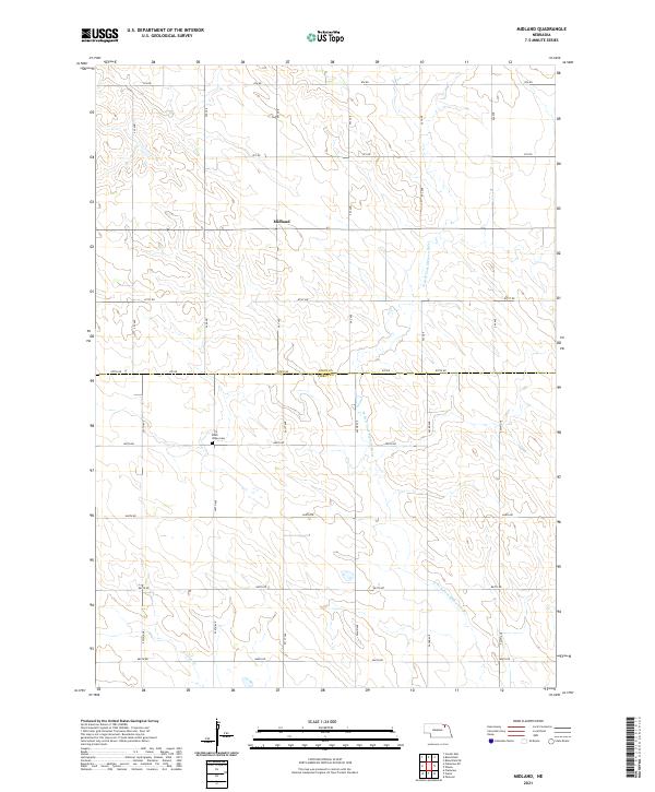
2021 Map of Midland
USGS Topo · Published 2021About this map
Midland sits at the intersection of rural grid roads and section lines in this agricultural corner of Northeast Nebraska. The landscape is defined by the headwaters of the W Br N Fork Elkhorn River, which carves a subtle drainage path through the rolling township lines of t29n r3w and t28n r3w. For genealogists and local historians, the Eden Valley Cem serves as a critical landmark on the border between Knox and Pierce counties, marking a point of rest for the area's early farming families. Further south, the map traces the winding course of Breslau Cr, showing a countryside still heavily reliant on its original section-line road network, including 540 Ave and 870th Rd, to connect isolated homesteads and farmland.
Find a feature on this map
32 named features on this map. Tap any name to fly to it.
Don’t see what you’re looking for? This feature index may not catch every label — zoom into the map to look around manually.
Map Details
Editions of this 2021 Midland Map
This is the sole edition of this map. No revisions or reprints were ever made.
Other maps of this area

1955 · Sioux City
USGS Topo · 1:250,000

1958 · Sioux City
USGS Topo · 1:250,000

1959 · Sioux City
USGS Topo · 1:250,000

1963 · Plainview
USGS Topo · 1:24,000

1963 · Foster
USGS Topo · 1:24,000

1963 · Osmond
USGS Topo · 1:24,000

1968 · Bloomfield SE
USGS Topo · 1:24,000

1971 · Wausa
USGS Topo · 1:24,000

1974 · Midland
USGS Topo · 1:24,000

1974 · Bloomfield
USGS Topo · 1:24,000