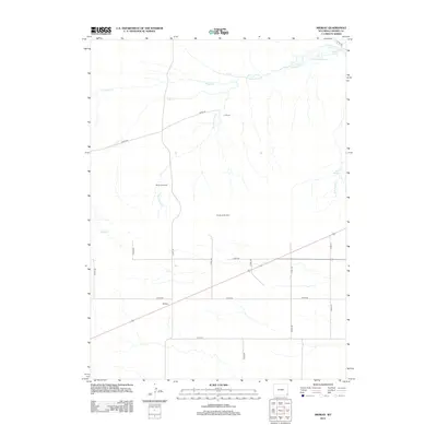
2012 Map of Midway
USGS Topo · Published 2012About this map
Midway stands as a focal point in this portion of Laramie County, where a network of county roads converges on the High Plains. This 2012 landscape is defined by its water management and ranching infrastructure, featuring the J R Ranch and essential landmarks such as the Rhoder Windmill and The South Windmill. The drainage system is dominated by the various branches of Little Horse Cr, including Middle Cr, Cow Cr, and N Cr. In the northeastern corner, the Donahue Ditch and Donahue Reservoir illustrate the critical role of irrigation and water storage in this arid environment. The map captures a transition where traditional livestock operations rely on features like Donahue Spring and Bull Spring to sustain the high-altitude prairie economy.
Find a feature on this map
23 named features on this map. Tap any name to fly to it.
Don’t see what you’re looking for? This feature index may not catch every label — zoom into the map to look around manually.
Map Details
Editions of this 2012 Midway Map
This is the sole edition of this map. No revisions or reprints were ever made.
Other maps of this area

1899 · Goshen Hole
USGS Topo · 1:125,000

1911 · Cheyenne
USGS Topo · 1:125,000

1914 · Cheyenne
USGS Topo · 1:125,000

1954 · Cheyenne
USGS Topo · 1:250,000

1958 · Cheyenne
USGS Topo · 1:250,000

1960 · Rocky Hollow
USGS Topo · 1:24,000

1960 · Meriden
USGS Topo · 1:24,000

1963 · Little Indian Draw
USGS Topo · 1:24,000

1963 · Pole Creek Ranch SE
USGS Topo · 1:24,000

1963 · Midway
USGS Topo · 1:24,000