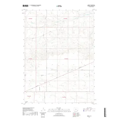
2017 Map of Midway
USGS Topo · Published 2017About this map
Midway stands as a focal point in this high plains landscape of Laramie County, where a network of county roads and early transit routes like Torrington Rd and Albin Rd cross the open country. The area is defined by its water management and ranching infrastructure, evidenced by the Donahue Reservoir, Donahue Spring, and the connecting Donahue Ditch in the northern reaches. These features, along with several natural drainages including Middle Cr and Little Horse Cr, illustrate the vital importance of water rights and irrigation in this semi-arid environment. Further south, the terrain descends into Chivington Draw, while the presence of naming conventions like Timber Wolf Rd and Country Dream Dr suggests the gradual transition toward more modern rural residential divisions. The map provides a precise layout of section lines and township boundaries, such as t17n r63w, essential for tracing land ownership and family tracts.
Find a feature on this map
32 named features on this map. Tap any name to fly to it.
Don’t see what you’re looking for? This feature index may not catch every label — zoom into the map to look around manually.
Map Details
Editions of this 2017 Midway Map
This is the sole edition of this map. No revisions or reprints were ever made.
Other maps of this area

1899 · Goshen Hole
USGS Topo · 1:125,000

1911 · Cheyenne
USGS Topo · 1:125,000

1914 · Cheyenne
USGS Topo · 1:125,000

1954 · Cheyenne
USGS Topo · 1:250,000

1958 · Cheyenne
USGS Topo · 1:250,000

1960 · Rocky Hollow
USGS Topo · 1:24,000

1960 · Meriden
USGS Topo · 1:24,000

1963 · Little Indian Draw
USGS Topo · 1:24,000

1963 · Pole Creek Ranch SE
USGS Topo · 1:24,000

1963 · Midway
USGS Topo · 1:24,000