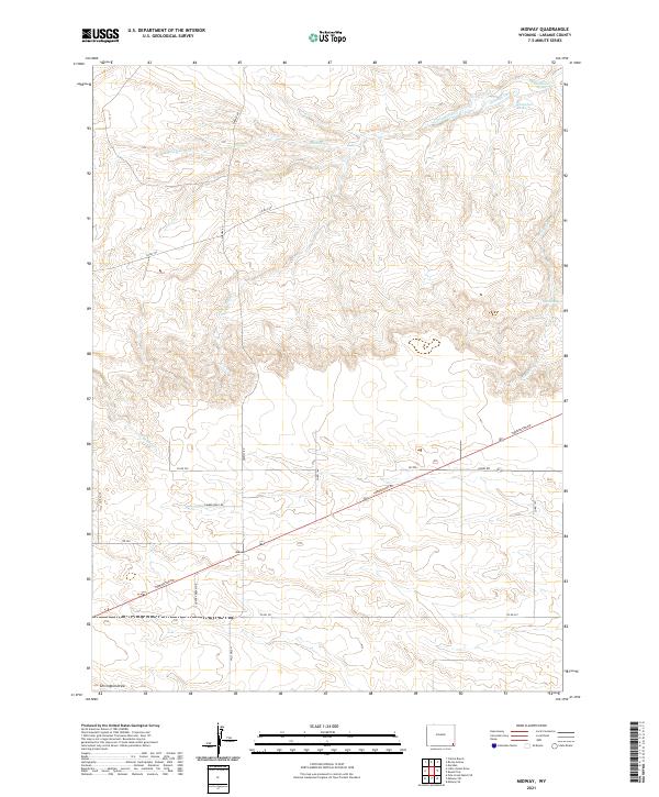
2021 Map of Midway
USGS Topo · Published 2021About this map
Midway serves as a central junction in this high plains landscape of Laramie County, where the intersection of Torrington Rd and Midway Rd defines the local transport hub. The terrain is characterized by a network of seasonal watercourses and drainage systems essential for regional ranching, notably Little Horse Cr and Middle Cr. In the northeastern reaches, agricultural water management is evident through the Donahue Ditch, which connects Donahue Spring to the Donahue Reservoir. The map illustrates a rural area organized by the Public Land Survey System, with large-scale landholdings accessed by roads such as Albin Rd and Co Rd 229. In the south, the landscape transitions toward Chivington Draw, while Bull Spring provides another critical water point in the eastern sections of the quadrangle.
Find a feature on this map
29 named features on this map. Tap any name to fly to it.
Don’t see what you’re looking for? This feature index may not catch every label — zoom into the map to look around manually.
Map Details
Editions of this 2021 Midway Map
This is the sole edition of this map. No revisions or reprints were ever made.
Other maps of this area

1899 · Goshen Hole
USGS Topo · 1:125,000

1911 · Cheyenne
USGS Topo · 1:125,000

1914 · Cheyenne
USGS Topo · 1:125,000

1954 · Cheyenne
USGS Topo · 1:250,000

1958 · Cheyenne
USGS Topo · 1:250,000

1960 · Rocky Hollow
USGS Topo · 1:24,000

1960 · Meriden
USGS Topo · 1:24,000

1963 · Little Indian Draw
USGS Topo · 1:24,000

1963 · Pole Creek Ranch SE
USGS Topo · 1:24,000

1963 · Midway
USGS Topo · 1:24,000