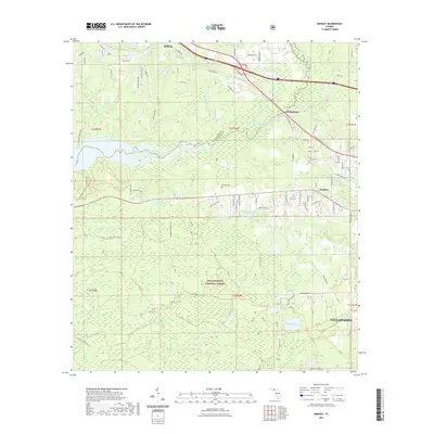
2021 Map of Midway
USGS Topo · Published 2021About this map
Lake Talquin anchors the western edge of this landscape where the Gadsden and Leon County line divides the terrain. The northern half is defined by the settlements of Midway, Ochlockonee, and Norfleet, positioned along a transport corridor that includes West Tennessee Street and various local routes like East Brickyard Road. This area shows a transition from structured residential and commercial zones into the dense, managed woodlands of the south.
Find a feature on this map
93 named features on this map. Tap any name to fly to it.
Don’t see what you’re looking for? This feature index may not catch every label — zoom into the map to look around manually.
Map Details
Editions of this 2021 Midway Map
This is the sole edition of this map. No revisions or reprints were ever made.
Other maps of this area

1940 · Tallahassee
USGS Topo · 1:62,500

1942 · Tallahassee
USGS Topo · 1:62,500

1943 · Tallahassee
USGS Topo · 1:62,500

1943 · Lake Talquin
USGS Topo · 1:62,500

1954 · Tallahassee
USGS Topo · 1:250,000

1959 · Tallahassee
USGS Topo · 1:250,000

1959 · Quincy
USGS Topo · 1:24,000

1960 · Tallahassee
USGS Topo · 1:250,000

1963 · Lake Jackson
USGS Topo · 1:24,000
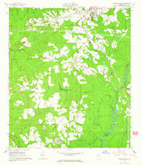
1963 · Havana South
USGS Topo · 1:24,000