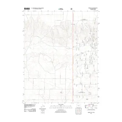
2011 Map of Midway SE
USGS Topo · Published 2011About this map
The Cimarron National Grassland dominates this high plains landscape at the corner of Colorado and Kansas, revealing a region defined by managed rangelands and energy extraction. The winding course of the Cimarron River carves through the terrain, providing a vital riparian corridor in an otherwise arid environment. Large-scale grazing divisions like Unit One Pasture, Steer Pasture, and Stateline Pasture underscore the area's primary agricultural use. Industrial activity is concentrated at the Interstate Oil Field, where a dense network of specialized service roads facilitates resource development. This 2011 survey illustrates the intersection of public land management and the petroleum industry, serviced by a rigid grid of local routes including County Road K and County Road B that stitch together the remote borders of the two states.
Find a feature on this map
20 named features on this map. Tap any name to fly to it.
Don’t see what you’re looking for? This feature index may not catch every label — zoom into the map to look around manually.
Map Details
Editions of this 2011 Midway SE Map
This is the sole edition of this map. No revisions or reprints were ever made.
Other maps of this area

1892 · Vilas
USGS Topo · 1:125,000

1954 · Perryton
USGS Topo · 1:250,000

1954 · Dalhart
USGS Topo · 1:250,000

1955 · La Junta
USGS Topo · 1:250,000

1955 · Dodge City
USGS Topo · 1:250,000

1958 · Perryton
USGS Topo · 1:250,000

1958 · La Junta
USGS Topo · 1:250,000

1958 · Dodge City
USGS Topo · 1:250,000

1958 · Dalhart
USGS Topo · 1:250,000

1959 · Dodge City
USGS Topo · 1:250,000