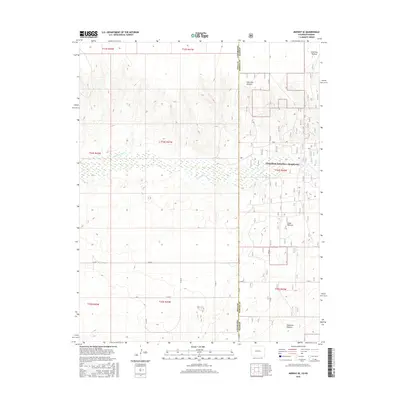
2016 Map of Midway SE
USGS Topo · Published 2016About this map
The Cimarron River cuts through the high plains of the Colorado-Kansas border, defining a landscape dominated by expansive public lands and open range. Much of the eastern portion of this survey is occupied by the Cimarron National Grassland, where the land is partitioned into distinct grazing areas like Unit One Pasture, Steer Pasture, and Stateline Pasture. This modern configuration reflects the conservation and grazing management practices on the Great Plains in the 21st century.
Find a feature on this map
20 named features on this map. Tap any name to fly to it.
Don’t see what you’re looking for? This feature index may not catch every label — zoom into the map to look around manually.
Map Details
Editions of this 2016 Midway SE Map
This is the sole edition of this map. No revisions or reprints were ever made.
Other maps of this area

1892 · Vilas
USGS Topo · 1:125,000

1954 · Perryton
USGS Topo · 1:250,000

1954 · Dalhart
USGS Topo · 1:250,000

1955 · La Junta
USGS Topo · 1:250,000

1955 · Dodge City
USGS Topo · 1:250,000

1958 · Perryton
USGS Topo · 1:250,000

1958 · La Junta
USGS Topo · 1:250,000

1958 · Dodge City
USGS Topo · 1:250,000

1958 · Dalhart
USGS Topo · 1:250,000

1959 · Dodge City
USGS Topo · 1:250,000