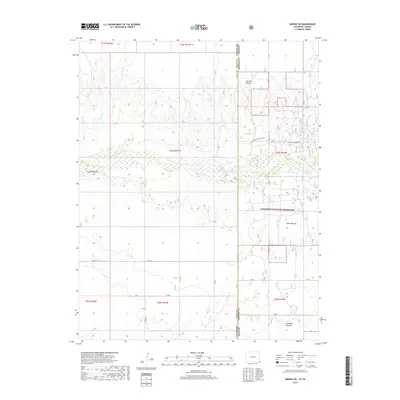
2019 Map of Midway SE
USGS Topo · Published 2019About this map
Cimarron National Grassland dominates the landscape of this high plains region, where the state lines of Colorado and Kansas meet. The Cimarron River winds through the center of the sheet, its wide sandy bed and intermittent flow defining the local topography. This area is characterized by large-scale grazing allotments and historical trail segments, reflecting a long history of land management and westward expansion. Extensive pastures such as Unit One Pasture, Steer Pasture, and Stateline Pasture are delineated across the terrain, illustrating the modern division of these public lands for agricultural use. Historically significant routes are also noted, including segments of the Santa Fe Nat Hist trail, which crosses through Morton County and provides a tangible link to the mid-19th-century trade and migration patterns of the American West.
Find a feature on this map
26 named features on this map. Tap any name to fly to it.
Don’t see what you’re looking for? This feature index may not catch every label — zoom into the map to look around manually.
Map Details
Editions of this 2019 Midway SE Map
This is the sole edition of this map. No revisions or reprints were ever made.
Other maps of this area

1892 · Vilas
USGS Topo · 1:125,000

1954 · Perryton
USGS Topo · 1:250,000

1954 · Dalhart
USGS Topo · 1:250,000

1955 · La Junta
USGS Topo · 1:250,000

1955 · Dodge City
USGS Topo · 1:250,000

1958 · Perryton
USGS Topo · 1:250,000

1958 · La Junta
USGS Topo · 1:250,000

1958 · Dodge City
USGS Topo · 1:250,000

1958 · Dalhart
USGS Topo · 1:250,000

1959 · Dodge City
USGS Topo · 1:250,000