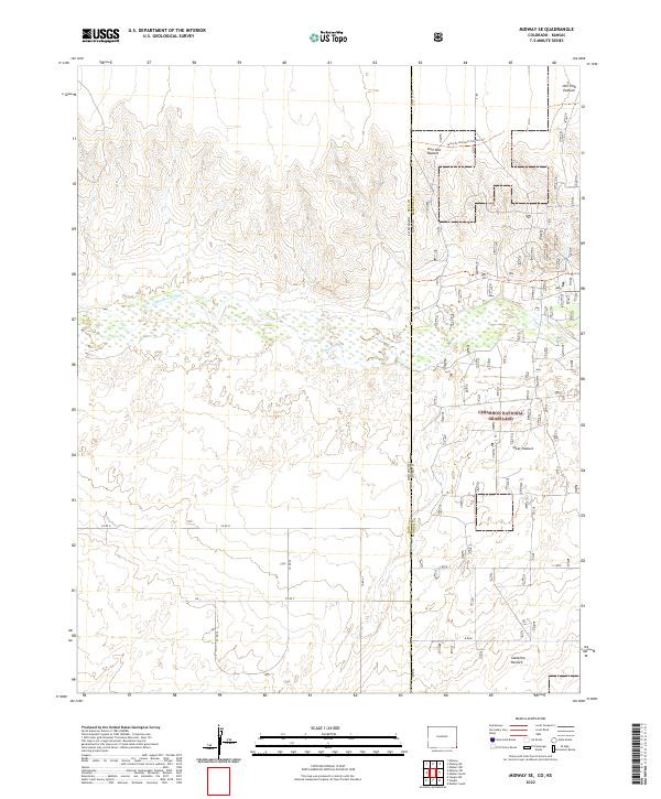
2022 Map of Midway SE
USGS Topo · Published 2022About this map
The Cimarron River carves a broad path across this High Plains landscape, marking a distinct ecological corridor within the Cimarron National Grassland. Tracing the northern edge of the river valley is the Santa Fe National Historic Trl, a path that once served as a vital commercial artery across the frontier. The map details the transition from the open rangelands of Unit One Pasture and Steer Pasture to the state line dividing Baca County, Colorado, and Morton County, Kansas. This 2022 survey preserves the modern configuration of the public lands and the essential ranching infrastructure, including Stateline Pasture and several rural routes like Co RD 57, which serve the remote borderlands where the two states meet.
Find a feature on this map
25 named features on this map. Tap any name to fly to it.
Don’t see what you’re looking for? This feature index may not catch every label — zoom into the map to look around manually.
Map Details
Editions of this 2022 Midway SE Map
This is the sole edition of this map. No revisions or reprints were ever made.
Other maps of this area

1892 · Vilas
USGS Topo · 1:125,000

1954 · Perryton
USGS Topo · 1:250,000

1954 · Dalhart
USGS Topo · 1:250,000

1955 · La Junta
USGS Topo · 1:250,000

1955 · Dodge City
USGS Topo · 1:250,000

1958 · Perryton
USGS Topo · 1:250,000

1958 · La Junta
USGS Topo · 1:250,000

1958 · Dodge City
USGS Topo · 1:250,000

1958 · Dalhart
USGS Topo · 1:250,000

1959 · Dodge City
USGS Topo · 1:250,000