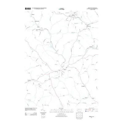
2013 Map of Midway
USGS Topo · Published 2013About this map
Midway and Hickory anchor this Washington County landscape, where the headwaters of several drainages carve through the terrain. The map documents a complex network of small settlements and named homesteads like Monticello Farm and Bonnymeade, interspersed with specialized infrastructure such as the Hickory Tunnel, Acheson Tunnel, and McGugin Tunnel. These tunnels suggest the historical presence of significant rail or transportation corridors cutting through the ridges between Cherry Run and Chartiers Run.
Find a feature on this map
136 named features on this map. Tap any name to fly to it.
Don’t see what you’re looking for? This feature index may not catch every label — zoom into the map to look around manually.
Map Details
Editions of this 2013 Midway Map
This is the sole edition of this map. No revisions or reprints were ever made.
Other maps of this area

1901 · Amity
USGS Topo · 1:62,500

1904 · Amity
USGS Topo · 1:62,500

1904 · Carnegie
USGS Topo · 1:62,500

1904 · Burgettstown
USGS Topo · 1:62,500

1906 · Burgettstown
USGS Topo · 1:62,500

1906 · Carnegie
USGS Topo · 1:62,500

1907 · Claysville
USGS Topo · 1:62,500

1908 · Carnegie
USGS Topo · 1:62,500

1951 · Canton
USGS Topo · 1:250,000

1953 · Canton
USGS Topo · 1:250,000
Featured Places
- Cecil Township, PA
- Robinson Township, PA
- Cross Creek Township, PA
- Midway, PA
- Cherry Valley, Smith Township