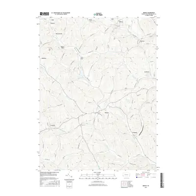
2016 Map of Midway
USGS Topo · Published 2016About this map
Krepps Covered Bridge stands as a notable landmark in the central valley of this Washington County landscape, where the terrain is defined by the winding course of Raccoon Cr. The area is characterized by a high density of small settlements and hamlets, including Joffre, Hickton, and Cherry Valley, which are linked by an intricate network of local roads and former industrial corridors. The legacy of regional transportation and engineering is evident in the presence of several named subterranean passages, such as Acheson Tunnel and Hickory Tunnel. To the north, the village of Midway sits near Cataney Airport, while the southern portion of the map is marked by the community of Westland and the headwaters of Chartiers Run. Local history researchers will find value in the specific locations of Cherry Valley Cem and Center Cem, as well as the naming of numerous family-attributed roads.
Find a feature on this map
95 named features on this map. Tap any name to fly to it.
Don’t see what you’re looking for? This feature index may not catch every label — zoom into the map to look around manually.
Map Details
Editions of this 2016 Midway Map
This is the sole edition of this map. No revisions or reprints were ever made.
Other maps of this area

1901 · Amity
USGS Topo · 1:62,500

1904 · Amity
USGS Topo · 1:62,500

1904 · Carnegie
USGS Topo · 1:62,500

1904 · Burgettstown
USGS Topo · 1:62,500

1906 · Burgettstown
USGS Topo · 1:62,500

1906 · Carnegie
USGS Topo · 1:62,500

1907 · Claysville
USGS Topo · 1:62,500

1908 · Carnegie
USGS Topo · 1:62,500

1951 · Canton
USGS Topo · 1:250,000

1953 · Canton
USGS Topo · 1:250,000
Featured Places
- Cecil Township, PA
- Robinson Township, PA
- Cross Creek Township, PA
- Midway, PA
- Cherry Valley, Smith Township