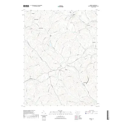
2019 Map of Midway
USGS Topo · Published 2019About this map
Hickory and Midway anchor this topographic study of Washington County, Pennsylvania, showing a landscape defined by the intersection of rural heritage and industrial transit. The region is notable for its numerous underground passages, including the Acheson Tunnel, Hickory Tunnel, and McGugin Tunnel, which indicate the complex infrastructure required to navigate the area's many ridges and valleys. Waterways like Raccoon Cr and Millers Run carve through the terrain, while the Krepps Covered Bridge stands as a significant local landmark along the banks of Cherry Valley.
Find a feature on this map
116 named features on this map. Tap any name to fly to it.
Don’t see what you’re looking for? This feature index may not catch every label — zoom into the map to look around manually.
Map Details
Editions of this 2019 Midway Map
This is the sole edition of this map. No revisions or reprints were ever made.
Other maps of this area

1901 · Amity
USGS Topo · 1:62,500

1904 · Amity
USGS Topo · 1:62,500

1904 · Carnegie
USGS Topo · 1:62,500

1904 · Burgettstown
USGS Topo · 1:62,500

1906 · Burgettstown
USGS Topo · 1:62,500

1906 · Carnegie
USGS Topo · 1:62,500

1907 · Claysville
USGS Topo · 1:62,500

1908 · Carnegie
USGS Topo · 1:62,500

1951 · Canton
USGS Topo · 1:250,000

1953 · Canton
USGS Topo · 1:250,000
Featured Places
- Cecil Township, PA
- Robinson Township, PA
- Cross Creek Township, PA
- Midway, PA
- Cherry Valley, Smith Township