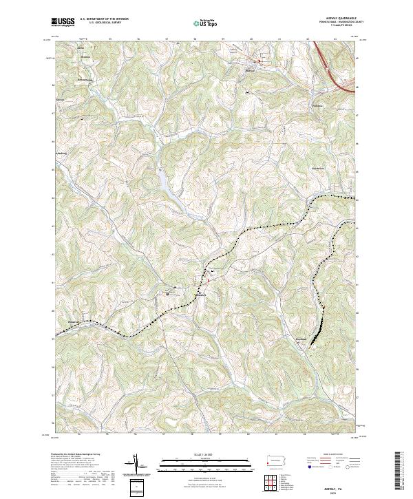
2023 Map of Midway
USGS Topo · Published 2023About this map
Midway and its neighboring villages in Washington County are defined by a complex network of waterways that once powered the local economy. The landscape is deeply incised by Raccoon Creek and Cherry Valley, with numerous small hamlets like Joffre, Hickton, and Primrose situated along the winding valley floors and ridges. Transportation history is visible in the corridor of the Panhandle Trl, which follows the path of an older railroad line through the northern part of the quadrangle.
Find a feature on this map
99 named features on this map. Tap any name to fly to it.
Don’t see what you’re looking for? This feature index may not catch every label — zoom into the map to look around manually.
Map Details
Editions of this 2023 Midway Map
This is the sole edition of this map. No revisions or reprints were ever made.
Other maps of this area

1901 · Amity
USGS Topo · 1:62,500

1904 · Amity
USGS Topo · 1:62,500

1904 · Carnegie
USGS Topo · 1:62,500

1904 · Burgettstown
USGS Topo · 1:62,500

1906 · Burgettstown
USGS Topo · 1:62,500

1906 · Carnegie
USGS Topo · 1:62,500

1907 · Claysville
USGS Topo · 1:62,500

1908 · Carnegie
USGS Topo · 1:62,500

1951 · Canton
USGS Topo · 1:250,000

1953 · Canton
USGS Topo · 1:250,000
Featured Places
- Cecil Township, PA
- Robinson Township, PA
- Cross Creek Township, PA
- Midway, PA
- Mount Pleasant Township, PA