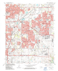
1986 Map of Midwest City
USGS Topo · Published 1987About this map
Tinker Air Force Base dominates the southeastern portion of this map, representing a massive military and industrial footprint adjacent to the growing suburbs of Midwest City and Del City. The landscape is a dense network of post-war expansion, with numerous schools such as Monroney Jr High School and Delcrest Jr High School serving the residential blocks. The North Canadian River cuts across the northern section, flanked by the Burlington Northern and Atchison Topeka and Santa Fe railroads, which once drove the industrial character of nearby Oklahoma City. Notable local landmarks include the Sunnyland Cemetery and the northern tip of Stanley Draper Lake, illustrating the balance between urban utility, memorial spaces, and water management in this central Oklahoma corridor during the mid-1980s.
Find a feature on this map
74 named features on this map. Tap any name to fly to it.
Don’t see what you’re looking for? This feature index may not catch every label — zoom into the map to look around manually.
Map Details
Editions of this 1986 Midwest City Map
This is the sole edition of this map. No revisions or reprints were ever made.
Other maps of this area

1892 · Moore
USGS Topo · 1:62,500

1892 · Edmond
USGS Topo · 1:62,500

1892 · Kingfisher
USGS Topo · 1:125,000

1893 · Oklahoma City
USGS Topo · 1:62,500

1895 · Kingfisher
USGS Topo · 1:125,000

1898 · Purcell
USGS Topo · 1:125,000

1904 · Chickasha
USGS Topo · 1:125,000

1934 · Crutcho Creek
USGS Topo · 1:24,000

1934 · Moore
USGS Topo · 1:62,500

1935 · Spencer
USGS Topo · 1:24,000