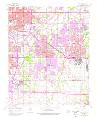
1956 Map of Midwest City
USGS Topo · Published 1976About this map
Tinker Air Force Base dominates the eastern landscape of this mid-century survey, illustrating the massive military infrastructure that fueled regional growth during the Cold War. To the west and north, the rapid suburbanization of Oklahoma City is visible through the emergence of distinct residential enclaves like Midway Village, Smith Village, and Del City. This era of development is marked by a dense network of local schools, including Douglass High Sch and Epperly Heights Sch, which served the expanding postwar population.
Find a feature on this map
67 named features on this map. Tap any name to fly to it.
Don’t see what you’re looking for? This feature index may not catch every label — zoom into the map to look around manually.
Map Details
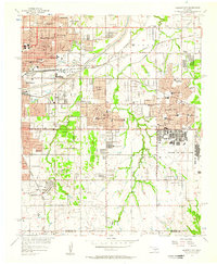
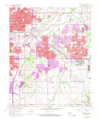
Editions of this 1956 Midwest City Map
3 editions found
Other maps of this area

1892 · Moore
USGS Topo · 1:62,500

1892 · Edmond
USGS Topo · 1:62,500

1892 · Kingfisher
USGS Topo · 1:125,000

1893 · Oklahoma City
USGS Topo · 1:62,500

1895 · Kingfisher
USGS Topo · 1:125,000

1898 · Purcell
USGS Topo · 1:125,000

1904 · Chickasha
USGS Topo · 1:125,000

1934 · Crutcho Creek
USGS Topo · 1:24,000

1934 · Moore
USGS Topo · 1:62,500

1935 · Spencer
USGS Topo · 1:24,000