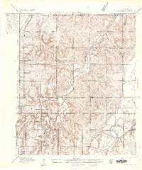
1935 Map of Spencer
USGS Topo · Published 1935About this map
The North Canadian River and Deep Fork define the drainage patterns of this mid-1930s Oklahoma landscape, where the town of Spencer sits at the confluence of rail lines and waterways. This survey provides a dense record of rural social infrastructure, naming nearly a dozen local schoolhouses including Prairie Bell Sch, Sunny Side Sch, and Harrison Sch (Colored), reflecting the era's segregated educational system. Local transportation is anchored by the Oklahoma Electric Highway and the St Louis - San Francisco railroad, which serve the small settlements of Witcher and Pleasant Hill. Notable early-century landmarks like a dedicated Broadcasting Station and expansive burial grounds such as Memorial Park Cemetery indicate a landscape transitioning from purely agrarian use to the growing needs of the surrounding metropolitan area.
Find a feature on this map
24 named features on this map. Tap any name to fly to it.
Don’t see what you’re looking for? This feature index may not catch every label — zoom into the map to look around manually.
Map Details
Editions of this 1935 Spencer Map
This is the sole edition of this map. No revisions or reprints were ever made.
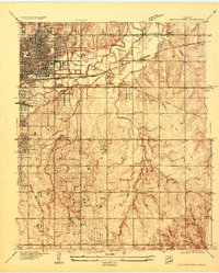
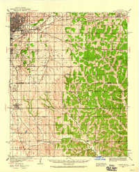
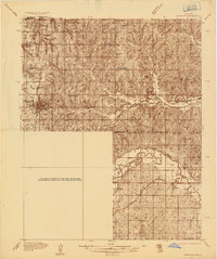
Other maps of this area

1892 · Moore
USGS Topo · 1:62,500

1892 · Edmond
USGS Topo · 1:62,500

1892 · Kingfisher
USGS Topo · 1:125,000

1893 · Oklahoma City
USGS Topo · 1:62,500

1895 · Kingfisher
USGS Topo · 1:125,000

1898 · Purcell
USGS Topo · 1:125,000

1904 · Chickasha
USGS Topo · 1:125,000
1934 · Crutcho Creek
USGS Topo · 1:24,000
1934 · Moore
USGS Topo · 1:62,500
1935 · Edmond
USGS Topo · 1:48,000