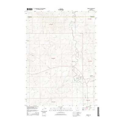
2015 Map of Midwest
USGS Topo · Published 2015About this map
Midwest and Edgerton serve as the primary hubs in this central Wyoming landscape, where the high plains are carved by the winding course of Salt Cr. The region is defined by an extensive network of water management features, including the Wyoming Associated Reservoir Number 17, Midwest Number 23 Reservoir, and Lower Salt Cr Reservoir, illustrating the critical role of water infrastructure in this arid environment. Genealogy researchers will find the Midwest Cem located west of the town center, while the layout of local streets like Fitzhugh Ave and Peake St provides a clear view of the town's residential core. Numerous drainage features such as Coal Draw, Bothwell Draw, and Hay Draw define the surrounding terrain, and the presence of Gas Plant Camp Rd points to the area's industrial ties to the energy sector.
Find a feature on this map
29 named features on this map. Tap any name to fly to it.
Don’t see what you’re looking for? This feature index may not catch every label — zoom into the map to look around manually.
Map Details
Editions of this 2015 Midwest Map
This is the sole edition of this map. No revisions or reprints were ever made.
Other maps of this area

1954 · Linch
USGS Topo · 1:24,000

1955 · Arminto
USGS Topo · 1:250,000

1958 · Arminto
USGS Topo · 1:250,000

1959 · Edgerton
USGS Topo · 1:62,500

1961 · Dugout Ranch
USGS Topo · 1:24,000

1961 · Dead Woman Crossing
USGS Topo · 1:24,000

1962 · Arminto
USGS Topo · 1:250,000

1968 · Big Gulch
USGS Topo · 1:24,000

1968 · Midwest
USGS Topo · 1:24,000

1968 · Salt Creek
USGS Topo · 1:24,000