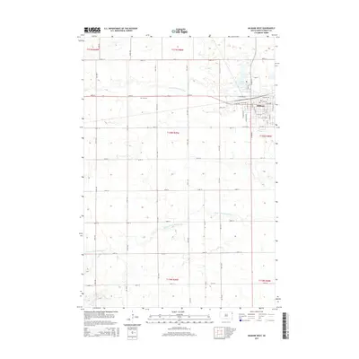
2015 Map of Milbank West
USGS Topo · Published 2015About this map
Milbank anchors the northeastern portion of this Grant County landscape, showing a grid of residential and industrial development during the mid-2010s. The town's layout is defined by thoroughfares such as S Dakota St and W Milbank Ave, with the recreational waters of Lake Farley providing a community focal point just north of the central district. Outside the city limits, the terrain transitions into a strictly partitioned agricultural grid, where the S Fork Whetstone River and the N Fork Yellow Bank River meander through sections of open land.
Find a feature on this map
51 named features on this map. Tap any name to fly to it.
Don’t see what you’re looking for? This feature index may not catch every label — zoom into the map to look around manually.
Map Details
Editions of this 2015 Milbank West Map
This is the sole edition of this map. No revisions or reprints were ever made.
Other maps of this area

1953 · Milbank
USGS Topo · 1:250,000

1954 · Big Stone Lake
USGS Topo · 1:62,500

1958 · Milbank
USGS Topo · 1:250,000

1971 · Corona
USGS Topo · 1:24,000

1971 · Big Stone Lake SE
USGS Topo · 1:24,000

1971 · Big Stone Lake SW
USGS Topo · 1:24,000

1973 · Twin Brooks
USGS Topo · 1:24,000

1973 · LaBolt
USGS Topo · 1:24,000
1973 · Milbank West
USGS Topo · 1:24,000

1973 · Stockholm
USGS Topo · 1:24,000