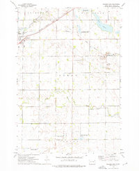
2021 Map of Milbank West
USGS Topo · Published 2021About this map
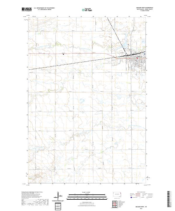
Milbank anchors the northeastern corner of this South Dakota landscape, where the Grant County Courthouse stands at the center of the local civic life. The town's grid extends toward Lake Farley, reflecting a settlement pattern deeply connected to both the water and the corridor of E Railway Ave. This 2021 survey shows a transition from the urban density of the county seat to the expansive agricultural sections defined by a systematic grid of roads like 474th Ave and Co Hwy 12.
Find a feature on this map
55 named features on this map. Tap any name to fly to it.
Don’t see what you’re looking for? This feature index may not catch every label — zoom into the map to look around manually.
Map Details
Editions of this 2021 Milbank West Map
This is the sole edition of this map. No revisions or reprints were ever made.
Historical Maps of Milbank Through Time
16 maps found
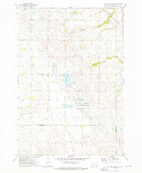
1970 Lonesome Lake
Grant County, SD
1970 Still Lake NE
Grant County, SD
1971 Big Stone Lake SE
Grant County, SD
1971 Big Stone Lake SW
Grant County, SD
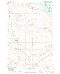
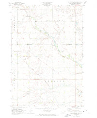
1973 Antelope Valley
Grant County, SD
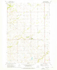
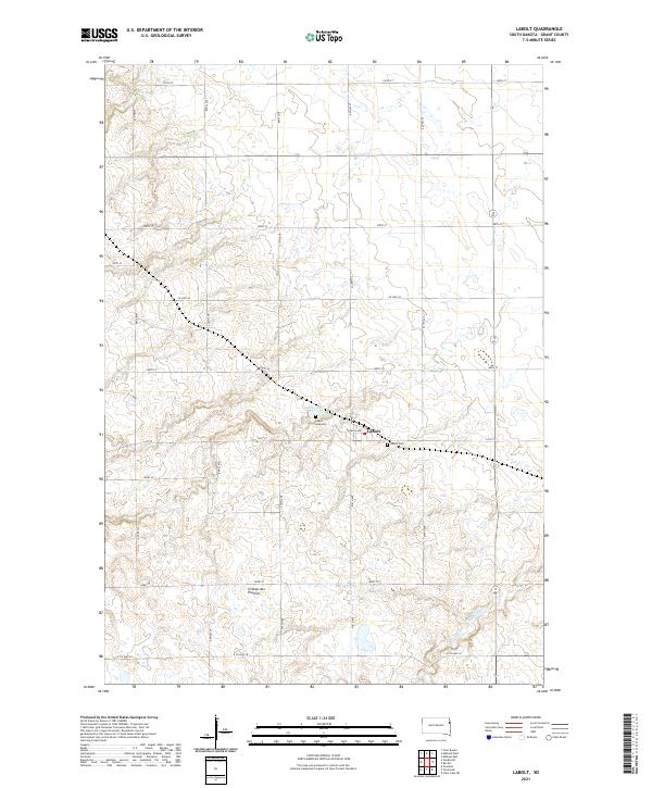
1973 LaBolt
Grant County, SD
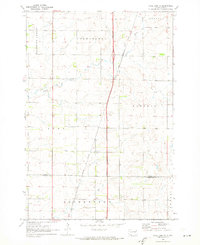
1973 Milbank East
Grant County, SD
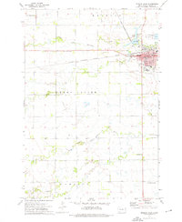
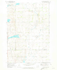
1973 Milbank West
Grant County, SD
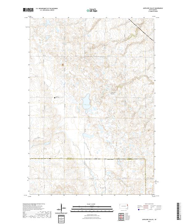
2021 Antelope Valley
Grant County, SD
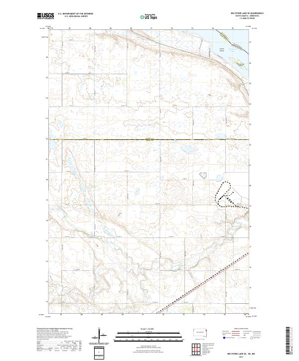
2021 Big Stone Lake SE
Grant County, SD
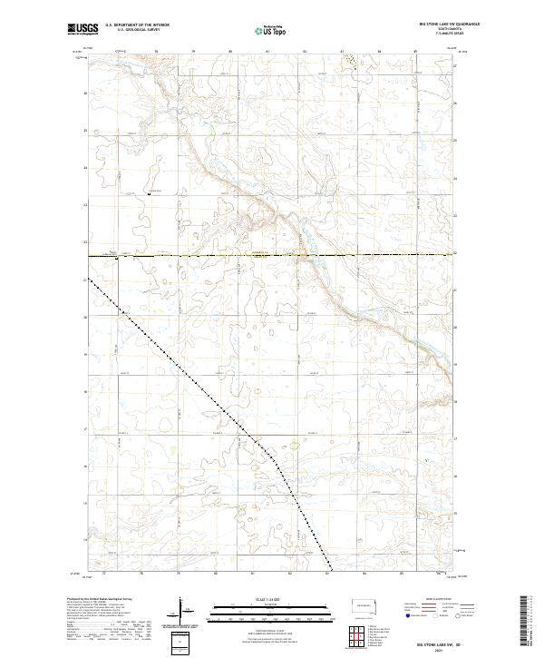
2021 Big Stone Lake SW
Grant County, SD
2021 LaBolt
Grant County, SD
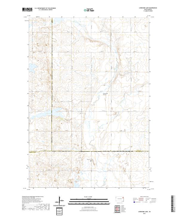
2021 Lonesome Lake
Grant County, SD
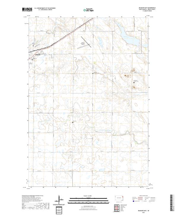
2021 Milbank East
Grant County, SD
2021 Milbank West
Grant County, SD

2021 Still Lake NE
Grant County, SD