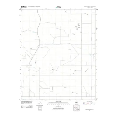
2010 Map of Milbourn Ranch
USGS Topo · Published 2010About this map
Milbourn Ranch and its surrounding high-desert landscape are defined by a network of seasonal watercourses and family-held land parcels in the early 21st century. The terrain is marked by distinctive geological features like Cerro del Conejo and the sheltered Cañon del Pino, while ephemeral drainage patterns including Milbourn Draw and Arroyo Chinchonte cut across the plains. These features highlight the importance of water management and topography in the development of Bernalillo County's ranching infrastructure.
Find a feature on this map
48 named features on this map. Tap any name to fly to it.
Don’t see what you’re looking for? This feature index may not catch every label — zoom into the map to look around manually.
Map Details
Editions of this 2010 Milbourn Ranch Map
This is the sole edition of this map. No revisions or reprints were ever made.
Other maps of this area

1917 · Estancia
USGS Topo · 1:125,000

1954 · Chilili
USGS Topo · 1:24,000

1954 · Torreon
USGS Topo · 1:24,000

1954 · Tajique
USGS Topo · 1:24,000

1954 · Escabosa
USGS Topo · 1:24,000

1954 · Milbourn Ranch
USGS Topo · 1:24,000

1954 · Torreon
USGS Topo · 1:62,500

1954 · Socorro
USGS Topo · 1:250,000

1956 · Estancia
USGS Topo · 1:62,500

1956 · Mountainair
USGS Topo · 1:62,500