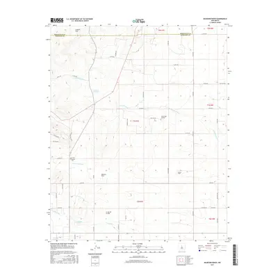
2017 Map of Milbourn Ranch
USGS Topo · Published 2017About this map
The Bernalillo Co and Torrance Co line bisects this high-desert landscape, where ranching heritage and geographic drainage patterns define the territory. Milbourn Ranch sits near the center of the sheet, surrounded by a complex network of ephemeral waterways including Milbourn Draw, Arroyo Chinchonte, and Cañada de la Perra. These geographic features suggest a land shaped by seasonal moisture and livestock grazing.
Find a feature on this map
50 named features on this map. Tap any name to fly to it.
Don’t see what you’re looking for? This feature index may not catch every label — zoom into the map to look around manually.
Map Details
Editions of this 2017 Milbourn Ranch Map
This is the sole edition of this map. No revisions or reprints were ever made.
Other maps of this area

1917 · Estancia
USGS Topo · 1:125,000

1954 · Chilili
USGS Topo · 1:24,000

1954 · Torreon
USGS Topo · 1:24,000

1954 · Tajique
USGS Topo · 1:24,000

1954 · Escabosa
USGS Topo · 1:24,000

1954 · Milbourn Ranch
USGS Topo · 1:24,000

1954 · Torreon
USGS Topo · 1:62,500

1954 · Socorro
USGS Topo · 1:250,000

1956 · Estancia
USGS Topo · 1:62,500

1956 · Mountainair
USGS Topo · 1:62,500