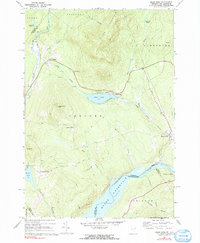
1967 Map of Miles Pond
USGS Topo · Published 1991About this map
Miles Mountain dominates the northern skyline of this Vermont landscape, where the Maine Central Railroad winds through the valley floor to connect the settlements of North Concord and East Concord. The map captures a moment in the mid-1960s when the Connecticut River had been transformed by the Moore Reservoir, significantly altering the shoreline along the border of Dalton, New Hampshire. Small upland communities like Ralston Corner and Concord Corner remain distinct, reflecting the traditional agricultural and residential patterns of Concord town. For those searching for family history, the map precisely locates Graves Cem and Overlook Cem, along with several other unnamed burial grounds marked simply as Cem. Notable water bodies including Shadow Lake and the namesake Miles Pond define the recreational and natural geography of the region.
Find a feature on this map
47 named features on this map. Tap any name to fly to it.
Don’t see what you’re looking for? This feature index may not catch every label — zoom into the map to look around manually.
Map Details
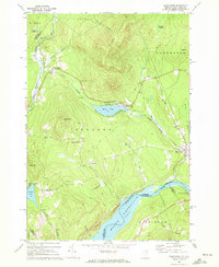
Editions of this 1967 Miles Pond Map
2 editions found
Other maps of this area

1900 · Whitefield
USGS Topo · 1:62,500

1920 · Guildhall
USGS Topo · 1:62,500

1931 · Guildhall
USGS Topo · 1:48,000

1931 · Littleton
USGS Topo · 1:62,500

1932 · Littleton
USGS Topo · 1:48,000

1933 · Guildhall
USGS Topo · 1:48,000

1935 · Littleton
USGS Topo · 1:62,500

1935 · Whitefield
USGS Topo · 1:48,000

1937 · Guildhall
USGS Topo · 1:62,500

1938 · Whitefield
USGS Topo · 1:62,500