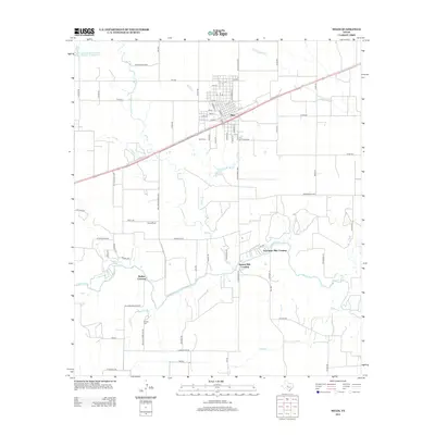
2012 Map of Miles
USGS Topo · Published 2012About this map
Miles serves as the central hub of this West Texas landscape, positioned along the corridor of Angelo Rd 67. The town's grid is clearly defined by streets such as Hester St, Lewin St, and Thiele St, while the Miles Cem sits just south of the main settlement. The survey illustrates a region shaped by its watercourses, most notably the Concho River, which meanders through the southern portion of the quadrangle.
Find a feature on this map
76 named features on this map. Tap any name to fly to it.
Don’t see what you’re looking for? This feature index may not catch every label — zoom into the map to look around manually.
Map Details
Editions of this 2012 Miles Map
This is the sole edition of this map. No revisions or reprints were ever made.
Other maps of this area

1891 · Hayrick
USGS Topo · 1:125,000

1892 · San Angelo
USGS Topo · 1:125,000

1894 · Hayrick
USGS Topo · 1:125,000

1921 · Baker Flat
USGS Topo · 1:31,680

1921 · Lowake
USGS Topo · 1:31,680

1921 · Rowena
USGS Topo · 1:31,680

1928 · Wall
USGS Topo · 1:62,500

1954 · San Angelo
USGS Topo · 1:250,000

1957 · Eola
USGS Topo · 1:62,500

1957 · Miles
USGS Topo · 1:62,500
Featured Places
- Miles, TX
- Mullins Crossing, TX
- Seventeen Mile Crossing, TX
- Sixteen Mile Crossing, TX
- Tom Green County, TX