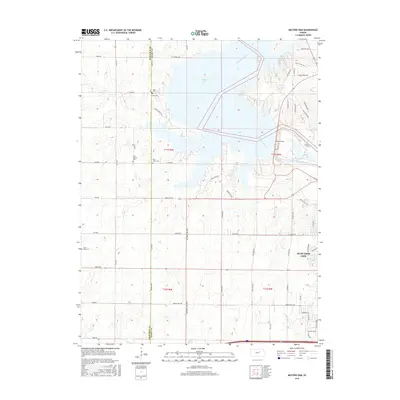
2016 Map of Milford Dam
USGS Topo · Published 2016About this map
Milford Lake dominates this central Kansas landscape, where the waters of the Republican River are impounded northwest of Junction City. The map reveals a transition between the suburban expansion of the city and the rural grid of the surrounding townships. For genealogists and local historians, the sheet preserves the location of several historic burial grounds, including Alida Cem and Laid Cem near the lake’s western shore, as well as Saint Johns Cem and Laid-Upland Cem further south. The drainage patterns of Curtis Cr and Goose Cr define the dissected terrain of the area, while a rigid network of numbered section roads like 3600 Ave and 3000 Ave provides the primary infrastructure for the agricultural lands flanking the reservoir.
Find a feature on this map
67 named features on this map. Tap any name to fly to it.
Don’t see what you’re looking for? This feature index may not catch every label — zoom into the map to look around manually.
Map Details
Editions of this 2016 Milford Dam Map
This is the sole edition of this map. No revisions or reprints were ever made.
Other maps of this area

1886 · Junction City
USGS Topo · 1:125,000

1889 · Junction City
USGS Topo · 1:125,000

1889 · Abilene
USGS Topo · 1:125,000

1889 · Parkerville
USGS Topo · 1:125,000

1891 · Clay Center
USGS Topo · 1:125,000

1894 · Junction City
USGS Topo · 1:125,000

1894 · Abilene
USGS Topo · 1:125,000

1894 · Parkerville
USGS Topo · 1:125,000

1947 · Fort Riley
USGS Topo · 1:62,500

1950 · Junction City
USGS Topo · 1:24,000