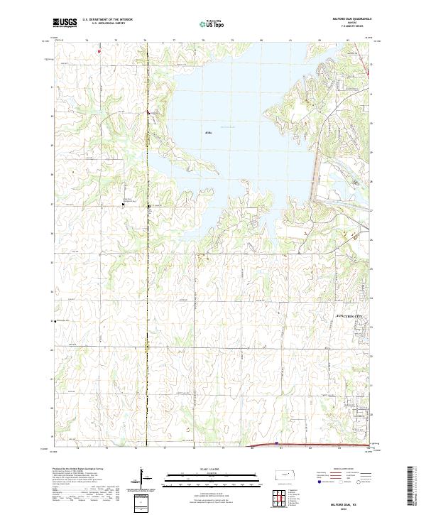
2022 Map of Milford Dam
USGS Topo · Published 2022About this map
Milford Lake dominates the central landscape of this Geary and Dickinson County boundary area, where the impounded waters of the Republican River have reshaped the historical terrain. The settlement of Alida sits near the western shore, serving as a focal point for researchers interested in the rural communities that existed alongside these river valleys. The map reveals a dense network of local routes like Curtis Creek Rd and Old Milford Rd, which connect the upland sections to the water's edge.
Find a feature on this map
70 named features on this map. Tap any name to fly to it.
Don’t see what you’re looking for? This feature index may not catch every label — zoom into the map to look around manually.
Map Details
Editions of this 2022 Milford Dam Map
This is the sole edition of this map. No revisions or reprints were ever made.
Other maps of this area

1886 · Junction City
USGS Topo · 1:125,000

1889 · Junction City
USGS Topo · 1:125,000

1889 · Abilene
USGS Topo · 1:125,000

1889 · Parkerville
USGS Topo · 1:125,000

1891 · Clay Center
USGS Topo · 1:125,000

1894 · Junction City
USGS Topo · 1:125,000

1894 · Abilene
USGS Topo · 1:125,000

1894 · Parkerville
USGS Topo · 1:125,000

1947 · Fort Riley
USGS Topo · 1:62,500

1950 · Junction City
USGS Topo · 1:24,000