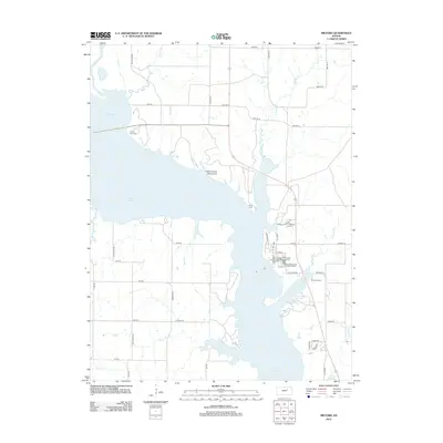
2012 Map of Milford
USGS Topo · Published 2012About this map
Milford Lake dominates this landscape, its expansive waters filling the valley where the Republican River and various tributaries once flowed freely. The terrain reflects a modern balance of recreation and local history, prominently featuring the Indian Grave Monument on a peninsula overlooking the reservoir. Numerous smaller waterways like Madison Cr, Timber Cr, and Dry Cr feed into the lake, creating a complex shoreline of inlets and points.
Find a feature on this map
51 named features on this map. Tap any name to fly to it.
Don’t see what you’re looking for? This feature index may not catch every label — zoom into the map to look around manually.
Map Details
Editions of this 2012 Milford Map
This is the sole edition of this map. No revisions or reprints were ever made.
Other maps of this area

1886 · Junction City
USGS Topo · 1:125,000

1889 · Junction City
USGS Topo · 1:125,000

1891 · Clay Center
USGS Topo · 1:125,000

1894 · Junction City
USGS Topo · 1:125,000

1947 · Fort Riley
USGS Topo · 1:62,500

1950 · Junction City
USGS Topo · 1:24,000

1950 · Alida
USGS Topo · 1:24,000

1951 · Wind Creek
USGS Topo · 1:24,000

1951 · Milford
USGS Topo · 1:24,000

1955 · Fort Riley NE
USGS Topo · 1:24,000