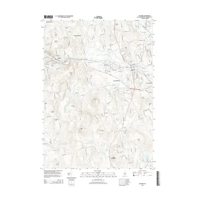
2015 Map of Milford
USGS Topo · Published 2015About this map
Milford and the Souhegan River valley define this central Hillsborough County landscape, showing a modern network of roads and established neighborhoods as they appeared in 2015. The industrial and hydraulic history of the region is evident in features like the Souhegan River Reservoir and Worcesters Millpond, while local genealogy is well-documented through numerous burial sites including Riverside Cem and Mount Calvary Cem. Smaller hamlets such as Curtis Corner and Perham Corner maintain their identity on the outskirts of the primary settlements.
Find a feature on this map
181 named features on this map. Tap any name to fly to it.
Don’t see what you’re looking for? This feature index may not catch every label — zoom into the map to look around manually.
Map Details
Editions of this 2015 Milford Map
This is the sole edition of this map. No revisions or reprints were ever made.
Other maps of this area

1887 · Fitchburg
USGS Topo · 1:62,500

1889 · Fitchburg
USGS Topo · 1:62,500

1893 · Fitchburg
USGS Topo · 1:62,500

1893 · Groton
USGS Topo · 1:62,500

1900 · Peterboro
USGS Topo · 1:62,500

1906 · Milford
USGS Topo · 1:62,500

1931 · Groton
USGS Topo · 1:48,000

1931 · Fitchburg
USGS Topo · 1:48,000

1935 · Groton
USGS Topo · 1:62,500

1935 · Fitchburg
USGS Topo · 1:62,500