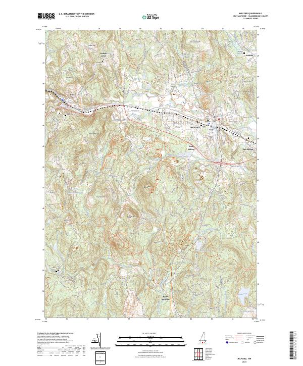
2024 Map of Milford
USGS Topo · Published 2024About this map
The Souhegan River serves as the central artery for this region of Hillsborough County, winding through the industrial and residential heart of Milford. This modern survey captures the density of established burial grounds that trace the area's genealogical history, from the Perham Corner Cem in the northwest to Riverside Cem near the riverbanks. The landscape is defined by a series of named elevations such as Dram Cup Hill and Badger Hill, which separate the primary settlements of Wilton and Amherst. South of the main village, Osgood Pond and the Rhododendron Swamp illustrate the varied hydrography that feeds into the Souhegan River system. This data also details the southern reaches near North Brookline, where the West Branch Village Brook flows toward Worcesters Millpond, marking the transition into the more wooded pond-dotted terrain of southern New Hampshire.
Find a feature on this map
196 named features on this map. Tap any name to fly to it.
Don’t see what you’re looking for? This feature index may not catch every label — zoom into the map to look around manually.
Map Details
Editions of this 2024 Milford Map
This is the sole edition of this map. No revisions or reprints were ever made.
Other maps of this area

1887 · Fitchburg
USGS Topo · 1:62,500

1889 · Fitchburg
USGS Topo · 1:62,500

1893 · Fitchburg
USGS Topo · 1:62,500

1893 · Groton
USGS Topo · 1:62,500

1900 · Peterboro
USGS Topo · 1:62,500

1906 · Milford
USGS Topo · 1:62,500

1931 · Groton
USGS Topo · 1:48,000

1931 · Fitchburg
USGS Topo · 1:48,000

1935 · Groton
USGS Topo · 1:62,500

1935 · Fitchburg
USGS Topo · 1:62,500